
How Santa Cruz Streets Reveal Names
A useful Santa Cruz County street directory search starts with the exact address and ends with a set of labeled records. The address identifies a situs, meaning the physical place. The APN identifies the parcel. The assessed owner is a current roll entry. The deed chain shows recorded transfers. A directory or a qualifying voter product may add a person connected to the place at a certain time.
Walk the evidence in this order. Do not skip the parcel step. Postal city names cross municipal lines in Santa Cruz County, and sequential house numbers do not guarantee adjoining parcels. A street can cross the City of Santa Cruz, an unincorporated area, or another incorporated city while keeping a similar mailing line.
- Enter the address in the County Assessor Parcel Lookup and copy the APN, situs, and jurisdiction as shown.
- Open GISWeb, find the same parcel, and note the polygons that touch or face it.
- Use the APN and current owner to locate an acquisition instrument in the Recorder index.
- For a qualifying election, scholarly, journalistic, political, or governmental purpose, ask Elections about a street-sorted voter product.
- Use Polk street sections or Haines criss-cross volumes to test a past address-to-subscriber link.
The final statement should say what the chain supports: assessed owner, recorded party, listed subscriber, permit applicant, or registered voter under a controlled request.
Santa Cruz County Parcel Search Fields
The County Assessor is the first named portal in this street directory because it turns a street label into a parcel record. The Assessor services page leads to the official lookup. Address and APN routes are documented. Current owner-name web searching requires live verification, so do not promise a name mode that the public interface does not show.
The result can connect an APN to a situs address, assessment values, property characteristics, exemptions, and an owner or mailing line where legally displayable. It does not provide a complete household count. Keep the mailing line separate from the situs line because a tax destination may be outside the parcel’s city or county.
| Field or control | Street-directory use |
|---|---|
| Property Address | Finds the physical parcel by number and street; normalize directional and street-suffix forms. |
| APN / Parcel Number | Provides the best stable key for cross-checking GIS, deeds, permits, and older descriptions. |
| Owner | May be available as a public search mode; trusts and entities are common, and availability varies. |
| Search / Clear | Runs the query or starts a clean street search. |
| Map or parcel detail | Connects the address result to the parcel record and surrounding geography. |
The Assessor capture below shows the address/APN route that anchors the Santa Cruz County street directory. The source image is a portal reference, not a live claim about any named parcel.
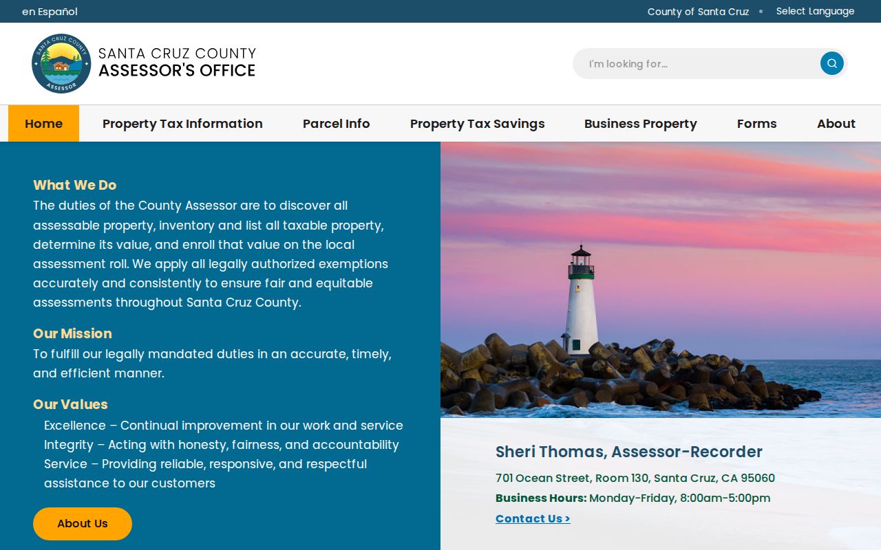
Save the APN before moving to the Recorder. A street address can be retyped in many forms, but the parcel number and legal description make the next search more precise.
- Parcel
- A mapped unit of land with an APN and a recorded legal description.
- Situs address
- The physical location assigned to the land or improvement.
- Plat
- A recorded map that sets out lots, blocks, lines, or subdivision geometry.
- Criss-cross directory
- A later directory arranged by address or telephone rather than only by surname.
Browse Santa Cruz County Parcels
GISWeb is the street-browse half of the workflow. Search the address or APN, select the candidate, zoom until parcel lines can be read, and use Identify on the target and nearby polygons. Layers can add jurisdiction, planning, environmental, or reference context, although the live list changes. GIS reveals adjacency and parcel shape. It is not a survey and should not be described as a resident list.
A road or right-of-way can make a nearby polygon look like a direct neighbor when it is not. One large parcel can carry more than one apparent street number. Copy each APN one at a time, then use the Assessor for parcel facts and the Recorder for ownership instruments. This keeps a map observation from becoming an unsupported household claim.
The Santa Cruz County GIS information page explains the county mapping route used with GISWeb.
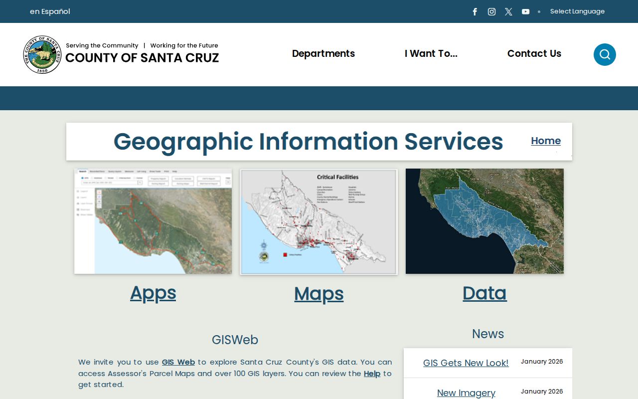
The map view is most useful when it gives each address a row in a private research worksheet: situs, APN, jurisdiction, owner record, last transfer, permit clue, and historical directory year.
Santa Cruz County Records By Address
Several Santa Cruz County record sets can be searched from a street, but each has a different keeper and meaning. The following coverage table is the core of a street directory because it shows where an address clue can go next.
| Record set | Keeper | What it shows | Access |
|---|---|---|---|
| Assessment roll | County Assessor | APN, situs, assessed owner or mailing line, values, traits, exemptions | Address/APN lookup; counter or phone fallback |
| Parcel GIS | County GIS | Boundaries, APNs, nearby parcels, jurisdiction and map layers | Free interactive viewer |
| Deeds and liens | County Recorder | Grantor, grantee, instrument type, date, number, legal description | Free index; copies and counter channels |
| Street-sorted voter products | County Elections | Registered names and address fields in approved products | Qualifying purpose, ID, application, fee |
| Permits and code files | City or County Planning | Work, status, dates, applicant, contractor, inspection facts | Correct jurisdiction portal or request |
| Reverse directories | SCPL and archives | Listed subscriber or occupant for a particular publication year | Library, microfilm, or local-history access |
The APN ties the assessment roll to deeds and often to permits. The street name helps with the elections product and printed directories. The legal description protects the chain when a number, name, or postal city changes. Those links make a street directory useful without pretending the sources are interchangeable.
Cross Santa Cruz's 1978 Cutoff
The Recorder’s online official-record index begins in 1978. The office reports digitized records from 1850 forward, with 1850 through 1996 images on microfilm and Digital Reel and handwritten indexes for documents before 1974. Search the web first when the date fits. Then move to the older channel instead of repeating modern spelling in a blank result.
A deed-chain search starts with the current assessed owner. Search that name as grantee, capture the grantor, date, document number, type, and legal description, then search the grantor as an earlier grantee. Deeds of trust, reconveyances, liens, notices of completion, and corrective instruments can sit beside ordinary transfers, so label the instrument before calling it a sale.
The Santa Cruz County Recorder search guide is the source for the online and older-index route.
Recorder staff do not conduct title searches. Bring a party name, approximate year, document number when known, and map book/page for a filed map. Public counter viewing is free. Recorded copies cost $1 per page, certification adds $3 per document, and filed-map copies use the separate $5 first-page and $2 additional-page schedule.
Older institutional names are a Santa Cruz search quirk. Abbreviations differ by period, so try the form used in the relevant index and compare the legal description or APN before joining two parties.
Santa Cruz Permits Date Buildings
Permit records add a structure timeline to the Santa Cruz County street directory. Within Santa Cruz city limits, the EnerGov Citizen Self Service portal can expose permits, plans, inspections, addresses, status, dates, descriptions, applicants, contractors, and inspection milestones where public. County Planning handles unincorporated territory. Watsonville, Capitola, and Scotts Valley maintain separate municipal routes.
First settle jurisdiction in GIS. A Santa Cruz postal label is not enough. City and county systems are separate, and a permit applicant is the person connected to the work, not proof of who occupies the parcel. Some transactions require an account, and the unattended research did not establish every dynamic dropdown or result cap.
Use permits to ask when a building was altered, divided, rebuilt, or removed. Pair that date with a directory entry, census schedule, newspaper item, or deed. A gap in a household trail may reflect a new structure or address change rather than a simple move.
County online permit services are the fallback for unincorporated parcels. When a record is not exposed in a portal, use the planning department’s focused request route and name the address, APN, project type, and date band.
Polk and Haines Along Streets
The Santa Cruz Public Libraries house-history guide gives this street directory its strongest historical tool. Most Polk Santa Cruz directories run from 1910 through 1988. Some Haines criss-cross volumes run from 1977 through 2015 and reverse the search from an address or telephone number to a listed subscriber. Polk is often strongest by name, while its street sections can bridge a person to a place.
The library collection is selective. It may show a head of household, occupation, spouse, boarder, or subscriber and omit other people at the same address. Copy the exact street spelling, number, abbreviation, phone, and year. A first appearance can bracket arrival, but a missing year can mean a publication gap, relocation, death, name change, or omission.
The SCPL house-history guide shows why a reverse directory belongs in an address trail.
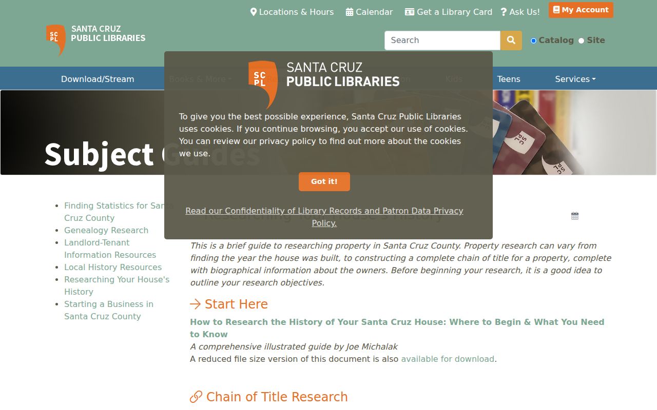
For a full account of the historical volumes, use the Santa Cruz County Directory Book. This street directory only needs the practical move: address, year, listed name, then a second source.
Voter Streets Need Permission
Santa Cruz Elections can produce street-sorted walking lists and printed voter indexes, but the file is confidential. Elections Code sections 2188 and 2194 limit release to election, scholarly, journalistic, political, or governmental purposes. The application asks for a purpose, identity fields, geography, specific information, certification, and a signature. Photo identification is mandatory.
Published products include walking lists sorted alphabetically by street, printed indexes, and a CD list that may include participation history. Prices and timing vary by product. The county publishes a two-working-day completion statement for ordinary orders, with advance payment. None of these products reveals how anyone voted.
A personal status check through the Secretary of State is not a way to browse a block. If a project has a qualifying purpose, contact Elections at Room 310, 701 Ocean Street, or 831-454-2060 and use the current request page and form. General CPRA language does not override the Elections Code gate.
Legal Descriptions Beat Street Names
Street labels are useful for finding a modern parcel but weak for a long chain. The Recorder’s legal description, subdivision lot and block, map book and page, or metes-and-bounds text can preserve identity through a new number, renamed road, split, or merger. An APN is an administrative key and can retire after a map change. The deed description controls the land record.
When a historical number fails, search the street with older place labels, check Sanborn or other historic maps, compare adjoining owners, and read the directory’s address section. Santa Cruz County has no single countywide street-renumbering year documented in the research, so treat a number change as address-specific and verify it with several sources.
- Situs
- The physical location of the parcel or improvement.
- Mailing address
- The destination for assessment or tax notices, which may be elsewhere.
- Legal description
- The recorded definition of the land, used to keep older deeds connected.
- APN
- The Assessor’s parcel identifier, copied exactly with its punctuation and leading zeroes.
Limits of a Santa Cruz Street Directory
A Santa Cruz County street directory cannot show every household member, child, non-owner resident, utility customer, or protected voter. DMV address data is restricted by the federal Driver’s Privacy Protection Act. A permit documents work on a structure. A tax line identifies a parcel account. A criss-cross entry identifies a listed subscriber for a year. Each absence has a possible legal or historical reason.
Keep a record matrix instead of a single “resident” field. Give each row a source date, address type, APN, person role, and limit. If two records conflict, prefer the source closest to the event and describe the conflict. Do not circulate a protected address merely because it appears in an old file.
Lawful personal use. Address records in Santa Cruz County may support family history, civic research, or a title question. Do not use a street search to stalk, harass, threaten, or repeatedly contact a person.
The strongest result is modest: this person was listed here in this directory year, this party recorded this instrument, or this APN carries this assessed owner. That is better evidence than an unmarked claim that someone “lives there.”